 If you live in New England, you probably have vivid memories of Hurricane Sandy in 2012 and Hurricane Irene a year earlier. If you were here around in 1991, you certainly remember Hurricane Bob. If you are really a geezer, you may recall storms in 1954, 1904, 1804, and several more.
I assume you weren’t around for those old storms, but they were fierce. How do we know? Beyond what the old-timers wrote down, we have to consider the geologic record. When hurricanes hit the coast, the seas have enough energy to pick up sand from the seafloor and dump it onto the coast (think of all the sand on the streets of New Jersey after Hurricane Sandy.) Some of the material gets dumped onto coastal salt marshes where peaty soil typically accumulates. Geologists can examine the layers of sand within the peat profiles to determine when ancient hurricanes occurred and, to some extent, how powerful they were.
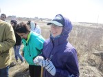
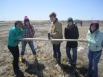
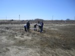
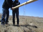
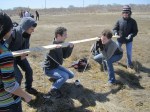
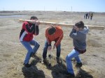
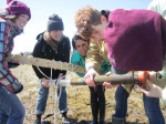
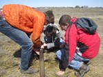
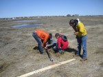
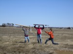
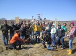
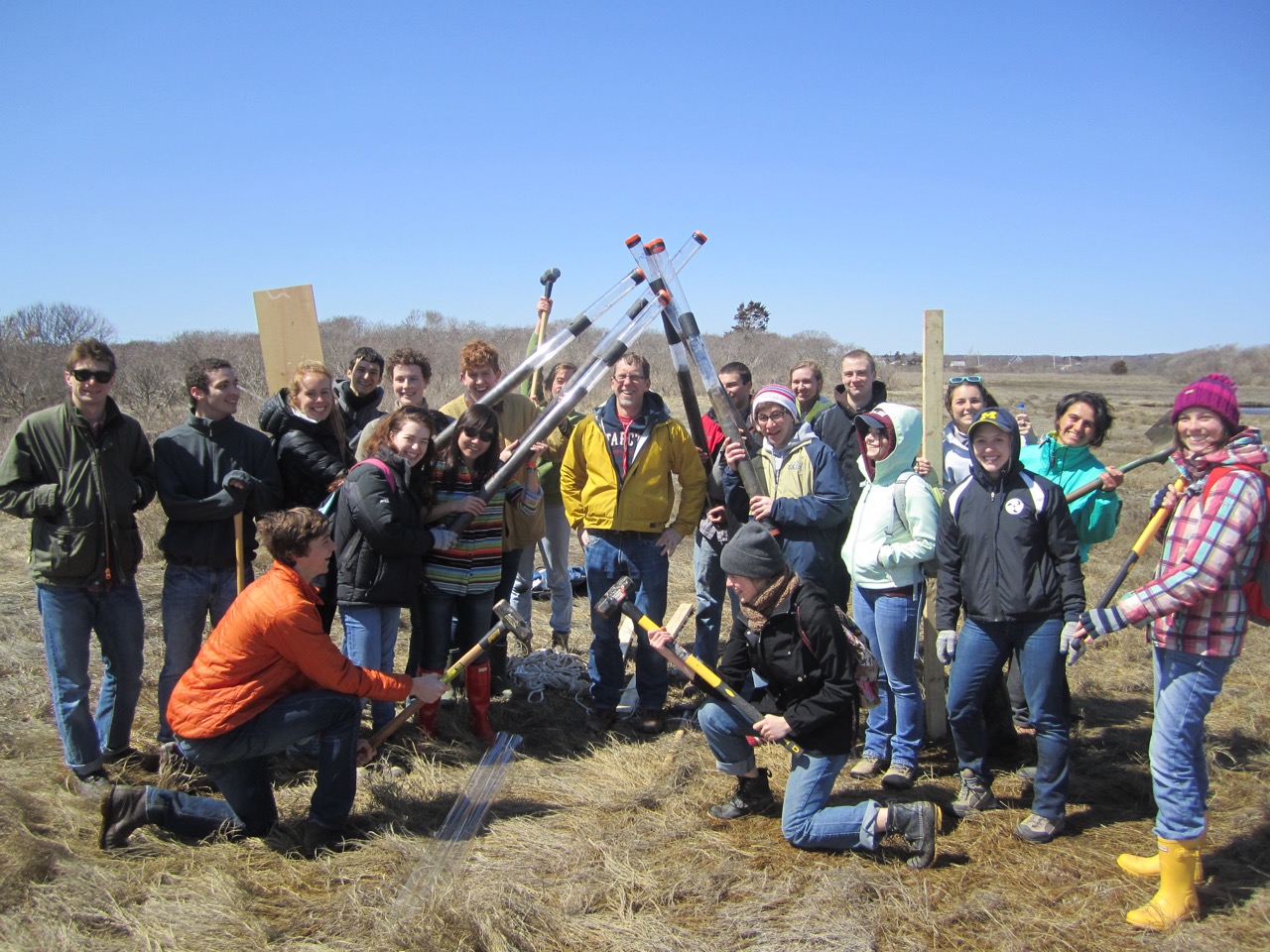
The classic locality for this research in New England is the Succotash Salt Marsh in beautiful Rhode Island. I recently had the good fortune to visit this marsh with a Brown geology class. Our goal was to use muscles and sledgehammers to retrieve sediment cores from the marsh in order to identify when the big storms hit. Remarkably, Hurricane Sandy was not powerful enough in Rhode Island to leave a trace of sand on top of Succotash Marsh. Follow the pictures below to see the step-by-step process of salt marsh coring.